

Description
Product Overview
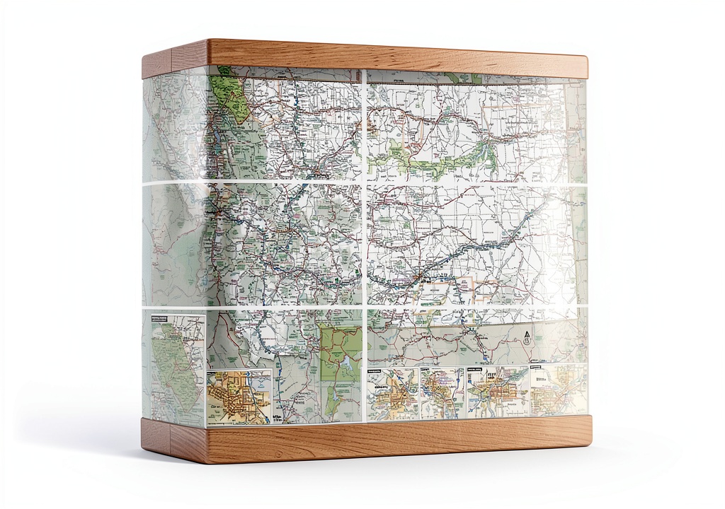
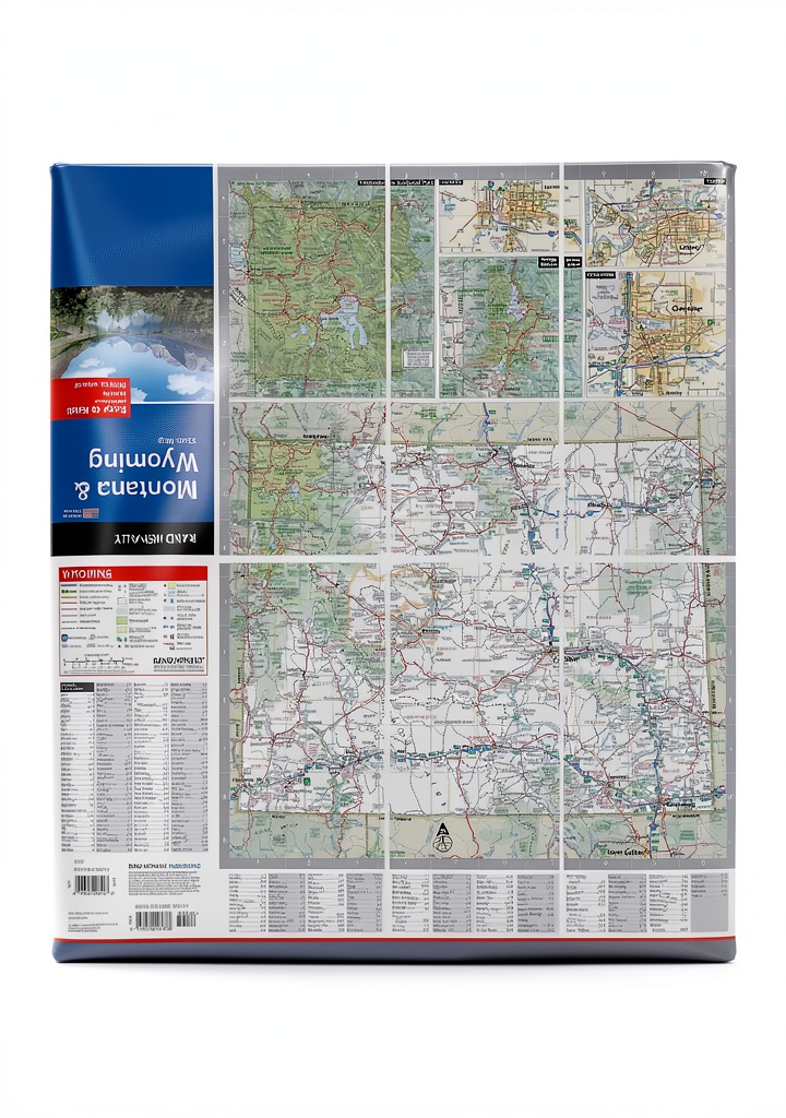
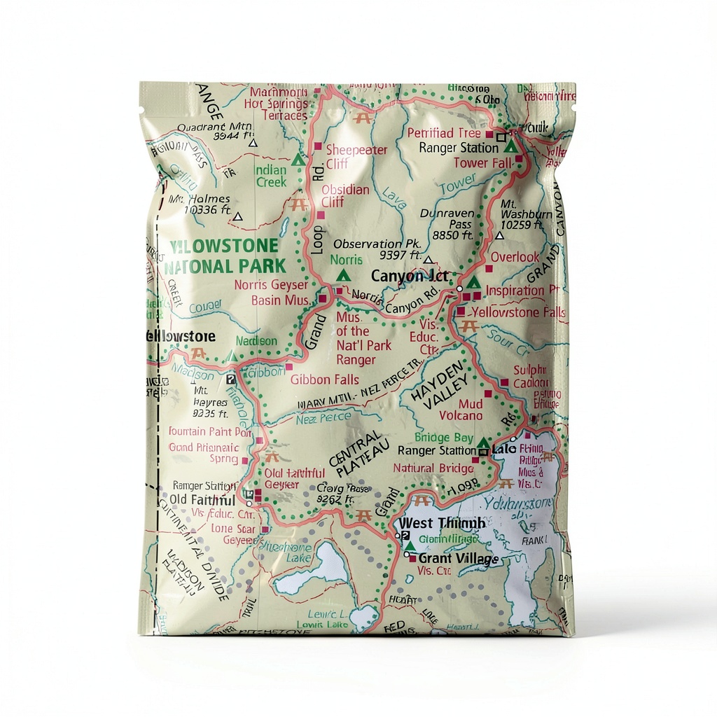
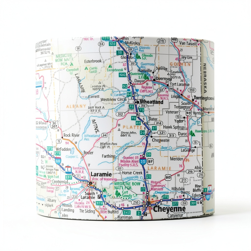
The Rand McNally Easy to Fold Montana Wyoming laminated map is a premium navigation tool crafted for outdoor enthusiasts who demand reliability and convenience. Measuring 18″ x 17″ (45.7 cm x 43.2 cm), the map is printed on a glossy, heavy‑duty paper that showcases vibrant colors and crisp cartographic details. Each sheet is fully laminated, providing a protective barrier against moisture, dirt, and wear while allowing users to write notes directly on the surface and erase them without damaging the map. The foldable construction enables the map to be collapsed into a compact size of 4.02″ x 0.24″ x 8.98″ for easy storage in a backpack, yet it can be unfolded to display any individual section for rapid reference. The product weight of just 2.78 ounces ensures that it adds minimal bulk to your gear, making it an ideal companion for long hikes, camping trips, and backcountry explorations.
![[Product front view showing all components]](https://www.akvex.store/wp-content/uploads/2026/07/a234a713ef7f4685add9fe93fb7859de.jpg)
Usage
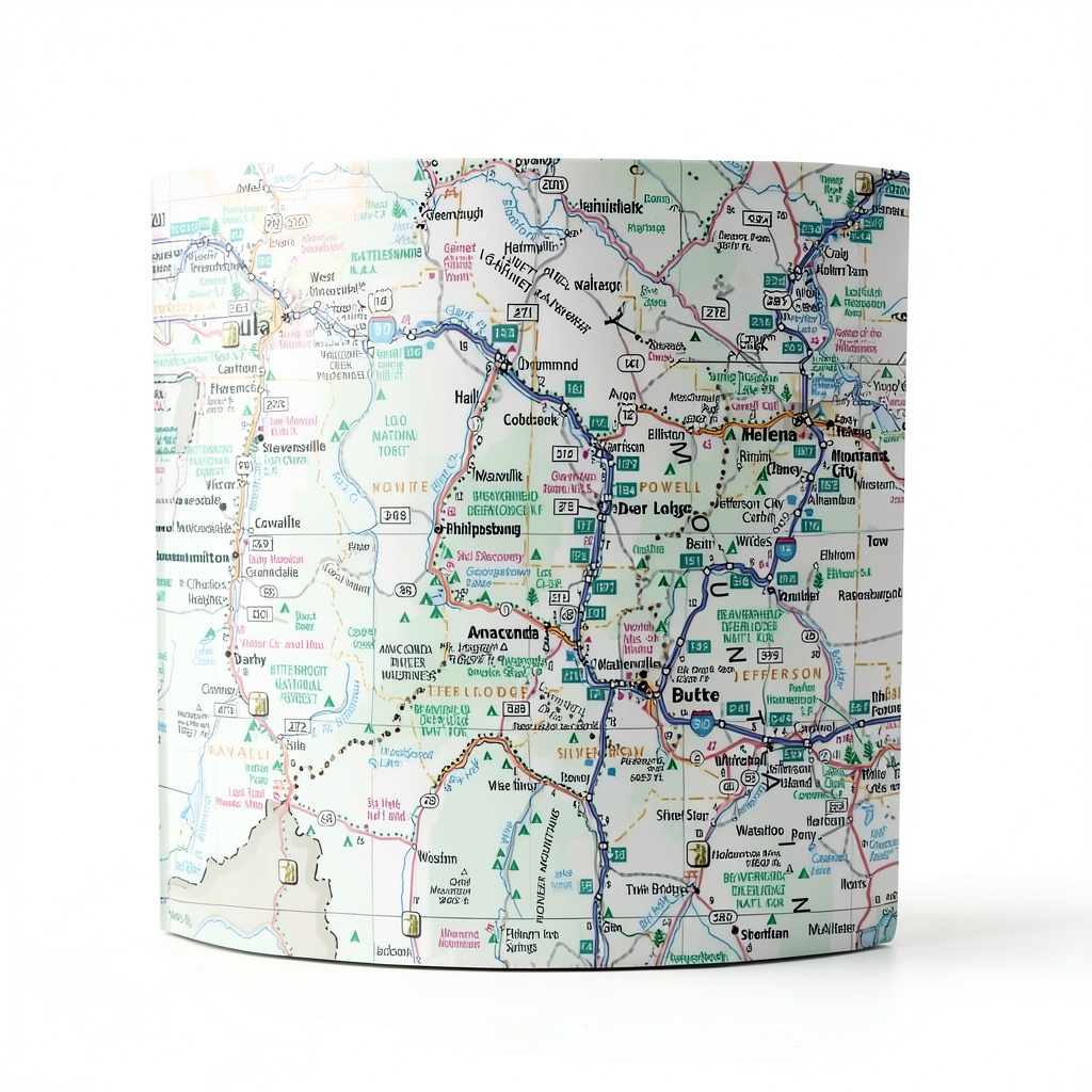
Whether you are trekking through the rugged peaks of the Rocky Mountains, navigating the winding backroads of Wyoming, or setting up camp in the remote valleys of Montana, this map serves as a dependable guide. The clear delineation of highways, county boundaries, and points of interest such as trailheads, water sources, and scenic overlooks helps you plan routes and make real‑time decisions on the trail. The durable lamination allows you to mark waypoints with a pencil or waterproof pen, then wipe away the markings when they are no longer needed, preserving the map for future trips. Its compact folded form fits easily into a pocket or a side pouch, while the full‑size unfolded view provides a comprehensive overview of the terrain, elevation changes, and land features. This versatility makes the map suitable for day hikers, multi‑day backpackers, hunters, and even emergency responders who need accurate topographic information at a moment’s notice.
Why Choose Us
Rand McNally has been a trusted name in cartography for over a century, and this Easy to Fold laminated map reflects the brand’s commitment to quality and innovation. The map is produced using state‑of‑the‑art printing technology that captures fine details, ensuring that every trail, road, and natural feature is represented accurately. The heavy‑duty lamination not only protects the paper but also extends the product’s lifespan, allowing it to withstand the rigors of outdoor environments. Each map undergoes strict quality control checks to guarantee color consistency, legibility, and dimensional accuracy. In addition, Rand McNally offers responsive customer support and a satisfaction guarantee, so you can purchase with confidence knowing that assistance is available should any issues arise.
Key Features
- Easy‑to‑fold design eliminates fumbling and saves space in your pack.
- Heavy‑duty lamination lets you write, erase, and reuse the map repeatedly.
- Durable, tear‑resistant glossy paper stands up to harsh weather conditions.
- Full‑color cartography with clearly marked highways, county lines, and points of interest.
- Responsive customer support and a satisfaction guarantee for peace of mind.
FAQ
Can I write on the laminated surface with any pen?
Yes, you can use a standard pencil, ballpoint pen, or a waterproof field pen. The lamination is designed to allow ink to be removed with a dry cloth or eraser, so you can update your notes as needed.
Is the map waterproof?
The lamination provides a water‑resistant barrier that protects the paper from light rain and splashes. While it is not designed for submersion, it will hold up well in typical outdoor conditions.
What is the scale of the map?
The map uses a 1:100,000 scale, offering a balance between detail and coverage that is ideal for navigation across large areas while still showing important terrain features.
How does the folding mechanism work?
The map folds along pre‑scored lines, allowing you to collapse it into a compact rectangle. When unfolded, each section can be laid flat for a clear view of the selected area, making it quick to locate specific routes or landmarks.
What warranty does Rand McNally provide?
Rand McNally offers a limited one‑year warranty against manufacturing defects, and their customer service team is ready to assist with any concerns or replacement requests.
Reviews
There are no reviews yet.