

Description
Product Overview
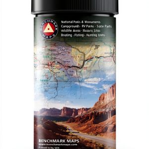
The Rand McNally Topographic Map is a precision‑crafted navigation tool for outdoor enthusiasts. Printed on high‑quality paper, the 1‑page map measures 8.82 x 4.02 inches and weighs only 2.4 ounces, making it ultra‑lightweight for backpacking. It features detailed contour lines, trail markers, water sources, and elevation data, all organized for quick reference. The map is published in English and carries ISBN‑13 978‑0528025419 for easy cataloging.
![[Product front view showing all components]](https://www.akvex.store/wp-content/uploads/2026/06/f275f9560ea24198a4d17a1fcc9327c4.jpg)
Usage
Designed for camping, hiking, and backcountry exploration, this map excels in forested trails, mountainous regions, and coastal paths. Whether you are planning a weekend trek, a multi‑day backpacking trip, or a spontaneous day hike, the map provides the essential geographic context to stay on course. Its compact size fits in a pocket, glove compartment, or on a water bottle, ensuring you have reliable navigation at hand.
Why Choose Us
Rand McNally brings over a century of cartographic expertise to this topographic map, guaranteeing accuracy and durability. The paper is coated to resist moisture and tearing, extending the map’s life in rugged conditions. Each map undergoes rigorous quality checks, and our customer support team is ready to assist with any questions about product usage or replacement.
Key Features
- Ultra‑lightweight design (2.4 oz) for easy carry on any adventure
- Clear contour lines and elevation markers simplify route planning
- Compact 8.82 × 4.02 in size fits pockets, packs, and vehicle dashboards
- Durable, moisture‑resistant paper stands up to outdoor conditions
- Responsive customer support and hassle‑free replacement policy
FAQ
What terrain types does this map cover?
The map includes detailed information for forest trails, mountain ridges, valleys, and water bodies, making it suitable for a wide range of outdoor terrains.
Is the map waterproof?
While the paper is moisture‑resistant, we recommend storing the map in a waterproof pouch during heavy rain or river crossings.
Can I use this map for night navigation?
The map is printed with high‑contrast lines that are readable in low‑light conditions, but we advise pairing it with a reliable headlamp for optimal visibility.
How often is the data updated?
This edition was published on October 14, 2022 and reflects the most recent trail data available at that time.
What is the return policy?
We accept returns within 30 days of purchase for unopened maps. Contact our support team for a prepaid return label.
 PmpDrTech Dehumidifier Pump Compact Design Smart Auto Cycle
  EcoWear cotton T shirt Men Soft breathable fabric Classic Fit Organic
Reviews
There are no reviews yet.