
Description
Product Overview
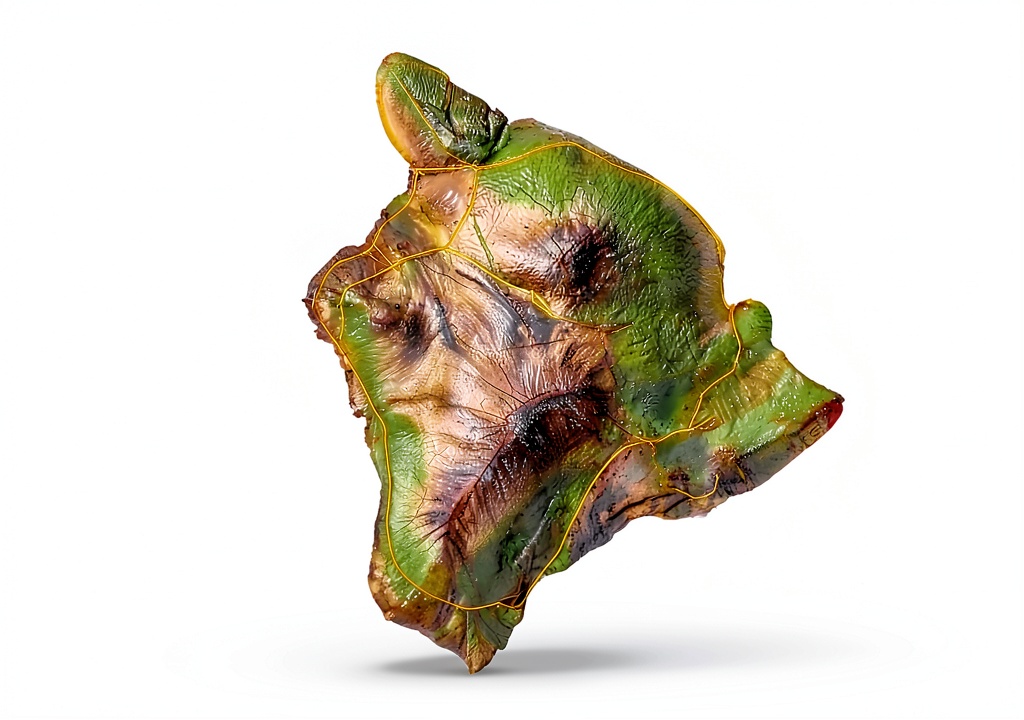
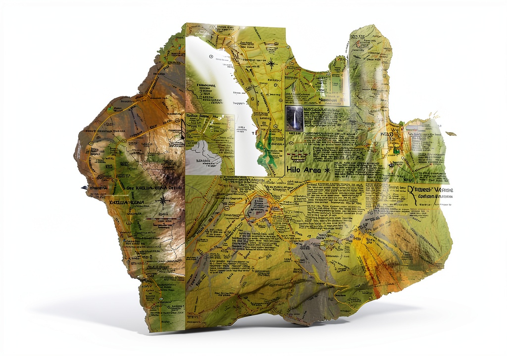
The Hawaii The Big Island Adventure Guide from Franko Maps is a meticulously crafted waterproof topographic map designed for the adventurous traveler who demands accuracy, durability, and ease of use. Printed on high‑quality, tear‑resistant paper, this map withstands rain, splashes, and the occasional mishap that can occur on rugged terrain. The 2nd edition incorporates the latest trail revisions, updated road networks, and newly identified points of interest, ensuring that every explorer has the most current information at their fingertips.
Measuring a convenient size that fits comfortably in a backpack pocket, the map provides a clear visual hierarchy of elevation contours, water features, and vegetation types. The color‑coded legend distinguishes between primary highways, secondary roads, hiking trails, and camping zones, allowing users to quickly interpret the landscape without needing to reference a separate key. The inclusion of latitude and longitude grids further supports GPS cross‑referencing for those who prefer digital navigation aids.
Beyond its functional attributes, the guide reflects Franko Maps’ commitment to environmental stewardship. The paper is sourced from responsibly managed forests, and the inks used are UV‑stable, reducing fading over time. Each map is packaged in a recyclable sleeve that protects the product during shipping while minimizing plastic waste.
With a lightweight profile of just 0.64 ounces, the map adds negligible weight to any gear load, yet it offers the comprehensive detail typically found in bulkier, more expensive navigation tools. The 2‑page format condenses essential information into a user‑friendly layout, making it an ideal companion for day hikes, multi‑day treks, and even casual sightseeing trips around the island.
Customer feedback consistently highlights the map’s readability under various lighting conditions, its resilience after exposure to humidity, and the accuracy of its trail markings. Rated 4.5 out of 5 stars by over 180 reviewers, the guide has earned a reputation as a trusted resource for both seasoned hikers and newcomers to the island’s diverse ecosystems.
![[Product front view showing all components]](https://www.akvex.store/wp-content/uploads/2026/07/eacc53a5131b48d6b8ff9610bc9edc27.jpg)
Usage
Whether you are planning a sunrise hike to the summit of Mauna Kea, a coastal kayak adventure along the Kona shoreline, or a leisurely drive through the lush valleys of Hilo, this map serves as a reliable reference point. Its waterproof coating ensures that the paper remains legible after sudden rain showers, mist from waterfalls, or accidental splashes from a nearby river.
Backpackers will appreciate the map’s compact size, which slides easily into a side pocket of a daypack or attaches to a water bottle with a simple clip. Campers can spread the map on a flat surface to plot campsite locations relative to water sources, fire pits, and trailheads, facilitating safe and organized overnight stays. For cyclists exploring the island’s scenic routes, the map’s clear road classifications help identify bike‑friendly paths and avoid high‑traffic thoroughfares.
Outdoor educators and tour guides often use the guide as a teaching tool, pointing out geological formations, native flora, and cultural landmarks while leading groups through the island’s varied terrain. Its detailed topography aids in risk assessment, allowing leaders to gauge elevation gain, slope steepness, and potential exposure to elements before embarking on a trek.
Even casual tourists can benefit from the map when navigating the island’s popular attractions, such as Hawaii Volcanoes National Park, Akaka Falls, and the historic town of Kailua‑Kona. By referencing the map, visitors can plan efficient routes, avoid getting lost, and discover hidden gems that are not always highlighted in standard travel brochures.
Why Choose Us
Franko Maps has a legacy of producing high‑quality cartographic products that combine scientific precision with user‑centric design. This guide stands out because it merges the latest geographic data with a rugged, waterproof format that is specifically engineered for the demanding conditions of Hawaii’s outdoor environments. The brand’s dedication to continuous improvement is evident in the 2nd edition updates, which incorporate feedback from field users and the latest satellite imagery.
Quality assurance processes include multiple rounds of proofreading, field testing by experienced hikers, and durability trials that simulate exposure to rain, wind, and abrasion. The result is a map that not only meets but exceeds industry standards for topographic accuracy and material resilience.
In addition to the product itself, Franko Maps offers responsive customer support. Should you have questions about map features, need clarification on specific trail markings, or require assistance with a replacement due to unforeseen damage, the support team is available via email and phone to provide prompt, knowledgeable help.
Choosing this guide also aligns you with a company that values sustainability. The use of recycled packaging, eco‑friendly inks, and responsibly sourced paper reflects a commitment to reducing environmental impact while delivering a product that supports responsible outdoor recreation.
Finally, the map’s competitive price point of $8.99 makes it an accessible addition to any adventurer’s toolkit, delivering premium functionality without breaking the budget.
Key Features
- Waterproof, tear‑resistant paper ensures readability in rain, mist, and humid conditions.
- Updated 2nd edition includes the latest trail revisions, road changes, and newly identified landmarks.
- Clear color‑coded legend and elevation contours help users quickly interpret terrain and plan routes.
- Compact, lightweight design fits easily into backpacks, pockets, or attaches to gear for on‑the‑go reference.
- Responsive customer support and a satisfaction guarantee provide peace of mind after purchase.
FAQ
Is the map truly waterproof or just water‑resistant?
The map is printed on a waterproof substrate that has been tested to remain legible after prolonged exposure to rain and splashes. It can be safely used in wet environments without the ink running or the paper disintegrating.
Can I use this map with a GPS device?
Yes. The map includes latitude and longitude grid lines, allowing you to cross‑reference your GPS coordinates for precise positioning. Many hikers find this combination of analog and digital navigation especially reliable.
What is the scale of the map?
The guide uses a 1:50,000 scale, providing a balanced level of detail that is suitable for both day hikes and longer expeditions across the island.
Do you offer a replacement if the map is damaged during shipping?
Franko Maps stands behind the quality of its products. If you receive a map that is damaged upon arrival, contact customer support within 30 days for a free replacement.
Is this map suitable for children or beginners?
Absolutely. The clear symbols, straightforward legend, and easy‑to‑read layout make it an excellent learning tool for new hikers, families, and anyone unfamiliar with topographic maps.


 Historical Biography Kindle by Ballantine Books
  Rand McNally Topographic Map Compact Waterproof 4x8.9 inch July 2022
Reviews
There are no reviews yet.